 Kansai Travel Guide


Photo: Tak1701d / CC BY-SA 3.0

Photo: Saigen Jiro / CC0


Photo: Tomomarusan / CC BY 2.5

Photo: 百楽兎 / CC BY-SA 3.0

Photo: 663highland / CC BY 2.5


Photo: 663highland / CC BY 2.5

Photo: ja:User:Nnn / CC BY-SA 3.0

Photo: Wikimedia Commons / CC BY-SA 3.0


Photo: KishujiRapid / CC BY-SA 4.0
Disaster Reduction and Human Renovation Institution
archive organization in Kobe, Japan


Photo: Mass Ave 975 at English Wikipedia / CC BY-SA 3.0

Photo: 663highland / CC BY 2.5

Photo: ja:利用者:663highland / CC BY-SA 3.0


Photo: 663highland / CC BY 2.5


More sights on the map
🛟Travel safety
🚑 Ambulance / fire: 119. Police: 110. For help in English, Chinese or Korean, call the JNTO Japan Visitor Hotline: 050-3816-2787 (24 hours).
Show on the mapNames of evacuation sites and hospitals are in Japanese. Please check official local information for the latest updates.
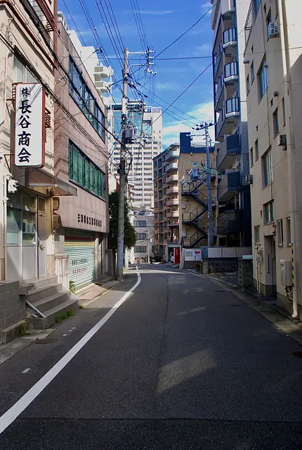
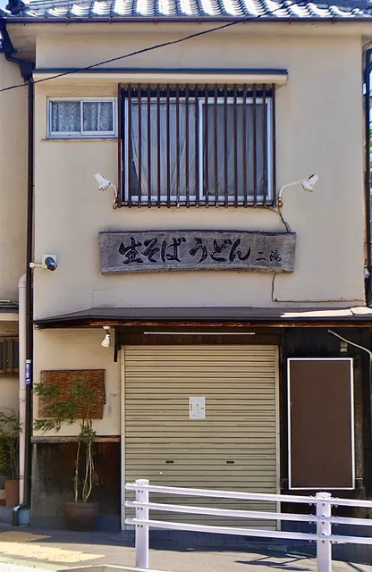
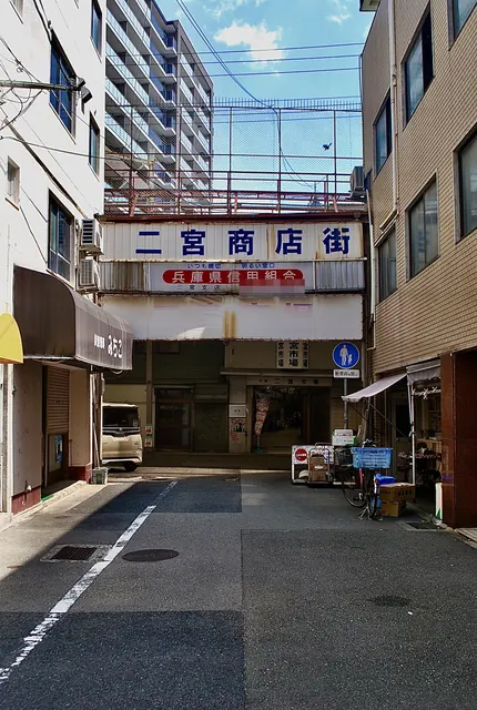
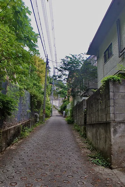
 Beyond the sights: everyday streets
Our photo site “Tabidori” shares everyday street photos of Japanese towns — the places guidebooks skip — free to use.